The Oak Creek, one of the few perennial streams in the high desert, is famous for snaking across Sedona and creating some of the most attractive landscapes in the area (like the Red Rock Crossing Vista).
This gently flowing watercourse is, in part, responsible for carving a 12-mile canyon with depths ranging from 800 to 2000 feet. State Route 89A enters the canyon on its north end and has several designated overlooks, trails, and picnic areas from where the grandness of the canyon can be admired.
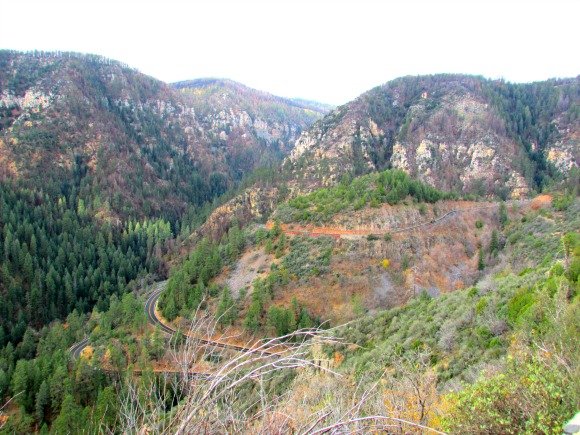
The ride on Route 89A (from Flagstaff to Sedona) is fun since it starts flat and straight and then it turns into a maze of hairpin turns and improbable inclines.
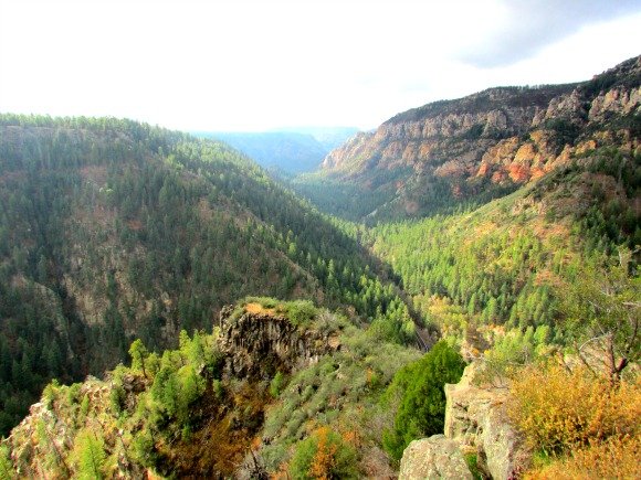
The north end of the canyon can be seen in detail from the Oak Creek Vista Point. If you are traveling south, the entrance to this area is located on the left side of the road (don’t miss it).
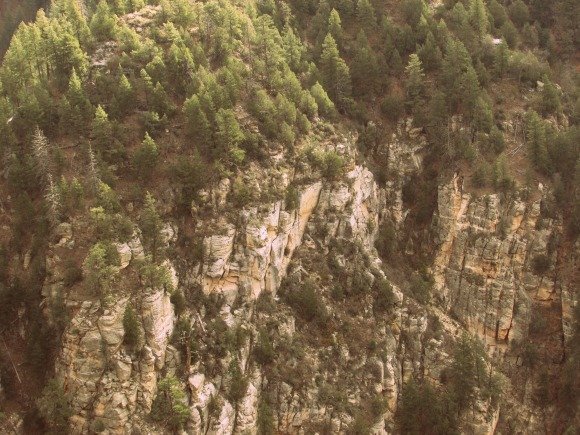
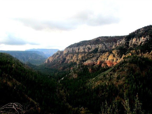
A short walk from the parking lot will let you see with clarity the bottom of the canyon. The white and red canyon walls are covered by Ponderosa pines, Douglas firs, pinyon, and junipers. The rocks in here have a ‘melting’ appearance. The exposed rim is formed by basaltic lava columns.
The area provides habitat to several species such as chipmunks, squirrels, elk, mountain lions, weasels, and coyotes. An interesting phenomenon takes place during the monsoon when male tarantulas search for mates across the forest floor.
From the vista point, it is easy to notice how the west side of the canyon is higher than the east side. This is because a fault line runs down the bottom of the canyon. Movement along the fault has shifted the rock layers resulting in unleveled sides.
Once at the bottom of the canyon (and going through the notorious switchbacks), the road gets serene again. This is when yellow oaks and gingerbread-style cottages start to pop up on the side of the road.
At one point, the vivid red rocks start to get into view. The sandstone here has a red color because it is covered with iron oxide. The unusual formations and spires are products of exposure to water, wind, faulting, and freezing temperatures.
The bottom of the canyon can be accessed through the Slide Rock State Park, the West Fork Trail, and other entry points in a designated wilderness area. More information can be found at the Red Rock Ranger District.
What canyons have you visited?


Leave a Reply