Garrapata. Garrapata.
It is difficult to understand how a noun that inspires all sorts of disgusting thoughts can be used to describe such a beautiful place.
I am referring to the Garrapata State Park located in the northern part of Big Sur (about 7 miles south of Carmel).
Garrapata means “thick” in Spanish. After some comprehensive research, I haven’t been able to find why this park bears this name. Different areas within the park are named after the families who owned the land before the state acquire it. However, there are no references to the garrapata origins. Since this land was used to raise cattle, I am assuming the current name has something to do with the little blood suckers infesting the livestock.
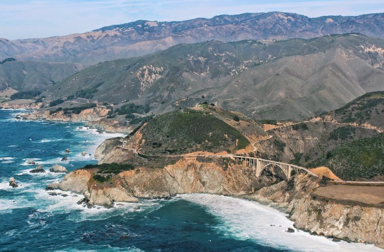
But let’s forget about the name for a moment and focus on what it is important. In this place you can find a jagged coastline, white sands, redwood-filled canyons, 60 species of mammals and 110 species of birds. I do not know about you but this is what I call amazing!
The park has 2 miles of beachfront and a total of 2,939 acres. During my brief visit (which was my first to the area), I was not able to experience everything this piece of land has to offer. Nevertheless, what I saw was enough to make an everlasting impression. That is why I feel so strong about sharing the experience and encouraging others to visit this special place in the California coast.
Table of Contents
Garrapata Beach
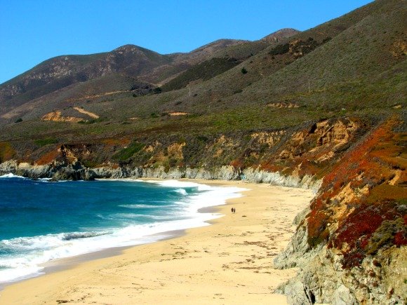
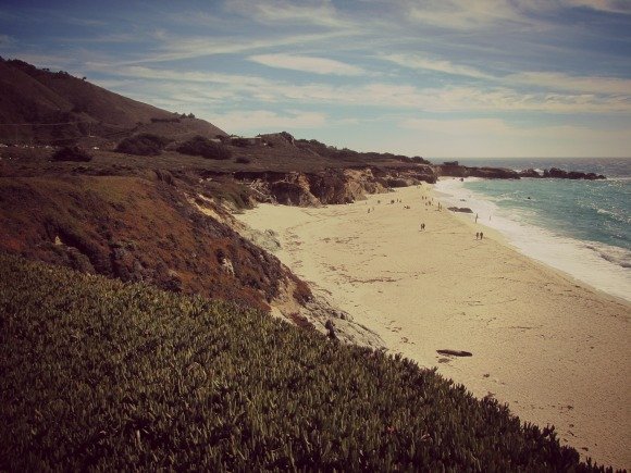
Since the park is ‘long’, parking and trails are reached via several numbered turnouts or gates. My husband and I approached the park from the south. Because of our traveling direction, it was impossible not to notice Garrapata Beach (Gates 18 and 19).
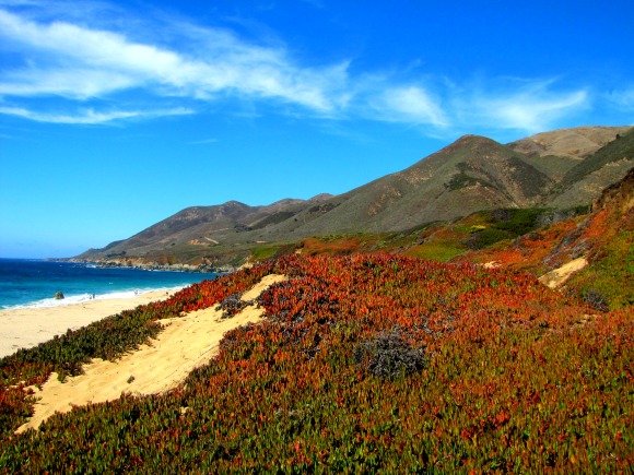
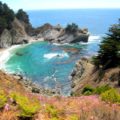
This is the only real beach in the park. To be honest, I wasn’t expecting to find sand so white (I was kind of blinded while walking around). Sapphire waters and cliffs covered by colorful scrubs give this place an idyllic feeling.
If you intent to stop by, pay attention to the views since there is no big sign pointing to the beach (like I said, it is difficult to miss).
Soberanes Area
This area of the park is named after the Soberanes family (operated a cattle ranch for 24 years).
The Soberanes Point (and arch) is one of the most famous parts of the coast (especially during sunset).
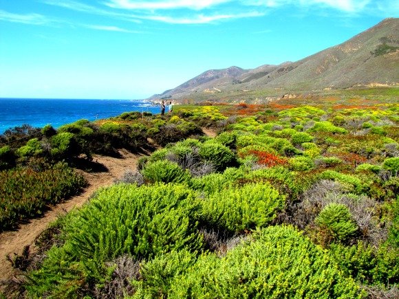
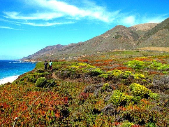
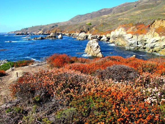
Turns out I didn’t make it to the actual point (which is accessed thru gates 8, 9 and 10). I entered the trail thru gate 8 but walked north instead of south. Anyway, I didn’t make it to my target but this is what I found.
That was enough to blow my mind away. Oh, those colors! Remember the photos were taken between gates 7 and 8.
The Soberanes Trail also gives you access to the top of Whale Peak. Visitors rave about the views of this not so difficult to trek peak.
In addition, gate 8 provides access to the Soberanes Canyon Trail which takes you to redwood groves.
Wait, there is more …
What I have shown here is just a peek of the park. Hope this is enough to instill a desire to visit.
For information about the park history, fauna, flora and hiking trails, visit the following link:
http://www.parks.ca.gov/?page_id=579
I recommend exploring the areas with the park brochure. Find it in the following link:
http://www.parks.ca.gov/pages/579/files/Garrapata.pdf
What do you think about Garrapata State Park?







Leave a Reply