Are you looking for hikes with striking scenery for your next outdoor adventure? Look no further than our list of best Ojai hikes!
If you want to get away from the hustle and bustle of the city, you should definitely give the spectacular hiking trails in Ojai a try.
Whether you want an adrenaline-pumping steep trail or a laid-back short one, Ojai has something for everyone! So keep reading to discover the most amazing Ojai hikes.
Please note: This article contains affiliate links, meaning I may earn a commission if you make a purchase by clicking a link. Of course, this comes at no extra cost to you and helps me to keep offering solid information to readers.

Table of Contents
Best Ojai Hikes
In this section, I will cover trails located close to the city center.
Ojai Meadows Preserve
The Ojai Meadows Preserve is a 58-acre park dedicated to the preservation of native plant and animal species.
The Preserve features a diverse range of habitats, including oak savannas, riparian areas, grasslands, and wetlands. The native flora and fauna of the preserve include over 200 plant species, 150 bird species, and a variety of reptiles, amphibians, and mammals. The park’s unique ecosystem makes it an ideal destination for nature lovers, hikers, and birdwatchers.
Ojai Meadows Preserve has an easy 0.64-mile loop trail surrounded by a beautiful view of eucalyptus trees. The trail has a rich history, so you’ll be met with many signs containing interesting facts about the area’s wildlife and restoration.
As you walk across the trail, you will come across many ponds that are home to various unique animal and plant species. Valley Oak Savanna, coyote brush, mugwort, and black sage are commonly spotted too.
There are numerous water reserves, including Taormina Creek, that drain into the Preserve. You can walk an additional 0.14-mile loop to take a look at this part of the Preserve.
This Preserve is also popular among dog walkers, so make sure to bring your furry friend along!



Valley View Preserve
The Valley View Preserve is a 195-acre park located in the foothills of Ojai. The preserve offers visitors the opportunity to explore diverse habitats, including chaparral, oak woodlands, and riparian areas.
There are three main trails in the Preserve:
- Luci’s Trail – Moderate 1.5-mile out-and-back trail. Total hiking mileage is 2.5 miles since part of Shelf Road has to be hiked to reach the trailhead. Takes about around 1.5 hours to complete. Even though the trail is pretty short, it’s steep and filled with rock steps and zigzag switchbacks that aren’t for the faint of heart.
- Fox Canyon Trail – Moderate 2-mile out-and-back trail. As with Luci’s Trail, the total hiking mileage is 2.8 miles since part of Shelf Road has to be hiked to reach the trailhead.
- Foothill Trail – Moderate 1.1-mile trail. This trail needs to be accessed from other trails. It is usually hiked as part of a loop.
Preserve visitors tend to hike the three trails mentioned above as a loop. This combination of trails, often referred to as the Valley View Trail, is a 2.5-mile loop that winds through the park’s oak woodlands, wildflower fields, and wonderful views of the Ojai Valley.
The trail lacks shade and gets hot and sandy, especially during the hotter months of the year, so remember to wear sunscreen.
Please notice the trails in the Preserve connect to other trails in Los Padres National Forest.


Pratt, Foothill, and Fox Canyon Trails Loop
This is an alternative loop to explore the Valley View Preserve and its surrounding area. It combines the Pratt Trail (located outside the Preserve, the trailhead is on Signal Street) with the Foothill and Fox Canyon Trails. This moderate difficulty loop takes around an hour and a half to complete.
South of the trail, there are numerous frontage roads, debris basins, and private properties. Do not worry about those initial views. Once you go north, you’ll be amazed by the stunning greenery.
Some parts of the trail are surrounded by eucalyptus trees, and you can even have a picnic in designated areas. If you own a dog, feel free to bring it as long as it’s on a leash.
If you are up for a challenge, you can consider hiking the Pratt Trail, out and back, by itself. This almost 10-mile, challenging adventure will take you deep into the forest.
Shelf Road Trail
The Shelf Road Trail is one of the most popular Ojai hiking trails – for a good reason! It’s a fairly easy 3.5-mile out-and-back trail that is flat and unpaved. You can expect to take around an hour and a half to finish it. Also, you can take a break at any of the trail’s benches.
At the end of the trail, you’ll be greeted by avocado and orange trees, and you may even spot a couple of deer. The trail has a few parking spots, but make sure you get there early as it gets full quickly!
It’s worth noting that the trail lacks shade, so it’s important to bring sunscreen and several bottles of water with you. You can also bring along your pup if he has a leash on.


Ventura River Preserve
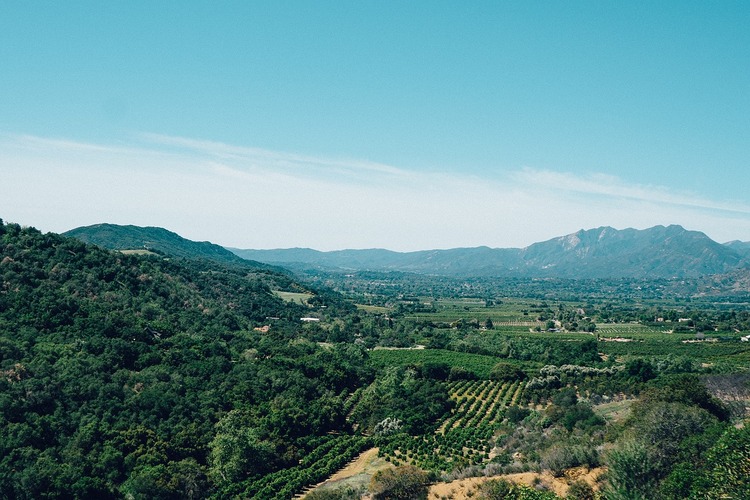
The Ventura River Preserve is a 1,600-acre offering visitors the opportunity to explore the area’s diverse ecosystems and enjoy the natural beauty of the Ventura River.
The park features a variety of trails that wind through the preserve’s diverse habitats. The Ventura River Preserve Trail is a 2.9-mile out-and-back trail that follows the Ventura River and offers stunning views of the surrounding mountains and the river itself. The trail is suitable for hikers of all levels and is easily accessible from the park’s parking lot.
Notice the trail described above is hiked as a loop combining several trails (Wills Canyon, Orange Grove, and Upper River). It is recommended to plan your route or download a map of the Preserve beforehand.
Also, let me point out the hike requires river crossings. This should not pose any issues to hikers (the Preserve should be closed if there is any potential danger to visitors)
In addition to hiking, the Ventura River Preserve also offers you the opportunity to participate in educational programs and events. The park hosts a variety of programs throughout the year, including guided nature walks, educational workshops, and birdwatching tours. The park’s educational programs are designed to provide visitors with a better understanding of the preserve’s native species and habitats.
Ventura River Preserve – Wills-Rice Loop Trail
This is a moderately challenging 4.6-mile loop trail that takes around two hours to complete. Before getting to the trailhead, you must cross a river by hopping on rocks. This is safe as long as the river flow is low.
The trail gradually steeps up until the elevation is at 1,100 feet. It’s also shaded by forests of sycamore and oak trees and offers a beautiful view of the Ojai Valley. Similar to Shelf Road Trail, this trail has benches for resting.


Ventura River Parkway – Ojai Hikes
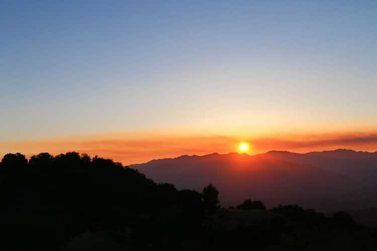
The Ventura River Parkway is a 16-mile stretch of parkland that runs along the Ventura River. As the former railroad did, this Parkway connects Downtown Ojai to the Ventura Pier.
The Parkway is composed of two trails: the Ojai Valley Trail and the Ventura River Trail.
The Ojai Valley Trail is a 9.5-mile paved trail that winds through the park’s oak woodlands and offers stunning views of the surrounding mountains. The Ventura River Trail is a 4-mile out-and-back trail that follows the Ventura River and offers views of the park’s riparian habitats.
The parkway’s trails are suitable for hikers, bikers, and horseback riders of all levels. If you want to experience part of the Ojai Valley Trail, you can access it from Libbey Park in Downtown. An idea is to walk from Libbey Park to the Rotary Community Park (1 mile one way, 2 miles roundtrip). Another idea is to walk from Libbey Park to the Ojai Meadows Preserve (1.6 miles one way, 3.2 miles roundtrip).
You can cover longer distances with a bike. There are several bike rental businesses in Ojai including one dedicated to renting electric bikes.


Hikes Near Ojai
In this section, I will cover some trails located in Los Padres National Forest, close to Ojai.
Piedra Blanca Trail
The Piedra Blanca Trail is one of the most popular trails in the Los Padres National Forest. The trail is approximately 19 miles long and offers visitors the opportunity to explore the area’s natural beauty while enjoying a challenging hike through rugged terrain.
The trailhead is located off Highway 33, and follows Sespe Creek. Therefore, expect to observe rock pools and interesting sandstone formations.
Before you faint, no, I am not recommending you hike the entire 19 miles.
My recommendation is to hike to the Piedra Blanca rock formation which is made of white sandstone and is approximately 50 feet tall.
The hike out and back to the rock formation is 2.6 miles. This part of the trail is considered easy. As a consequence, it is apt for hikes of all levels.
Rose Valley Falls Trail
The Rose Valley Falls Trail is another popular hiking trail that is suitable for hikers of all levels.
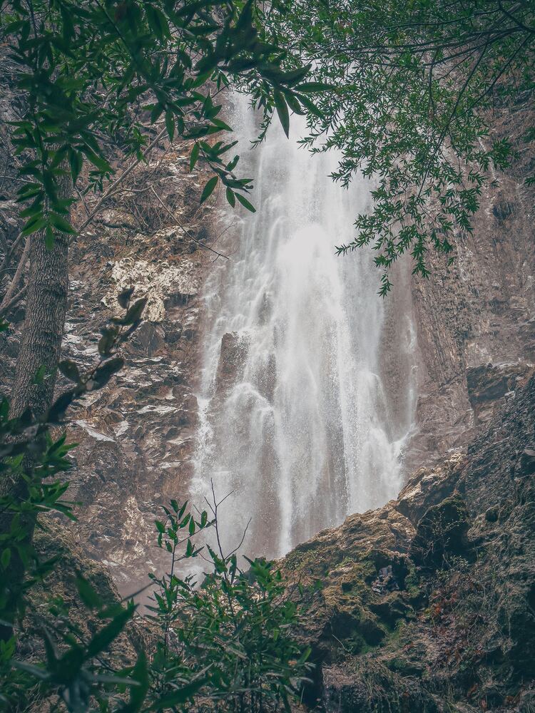
This 1.7-mile trail starts at the Rose Valley Campground and leads to a beautiful 300-foot waterfall. The trail is relatively easy, with a gradual incline and well-maintained paths. Hikers can also enjoy views of the surrounding mountains and the nearby Rose Valley Lake.

Matilija Trail
The Matilija Trail is a popular 10 miles long trail.
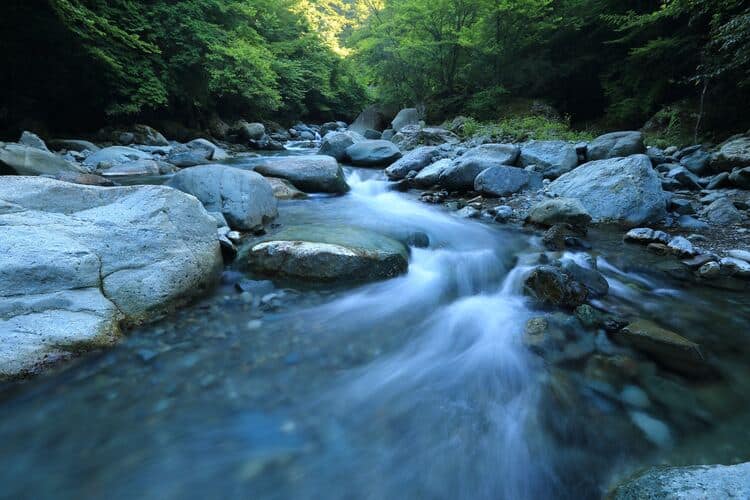
The trailhead is located off Highway 33, and visitors should expect a steep climb as they make their way up the trail. The trail follows Matilija Creek, which flows through a scenic canyon and provides a stunning backdrop for the hike.
As visitors hike along the trail, they can observe the area’s unique flora and fauna, including oak woodlands, chaparral, and wildflowers. The trail also offers several scenic viewpoints, providing breathtaking views of the surrounding mountains and valleys.
The Matilija Trail is considered a challenging hike, with steep climbs and uneven terrain. However, the stunning views and natural beauty of the area make the effort well worth it. Hikers should be prepared with proper footwear, water, and sun protection.
The trail is also a popular spot for backpacking and camping, with several backcountry campsites located along the trail. Visitors can enjoy a peaceful night under the stars, surrounded by the natural beauty of the area.

Ojai Trails – Hiking Gear
I recommend taking into consideration the following when planning your Ojai hikes:
- Wearing the right shoes is essential when hiking or walking. I recommend investing in a good pair. Merrell shoes have always been good for my crooked feet. My husband is more of a fan of the Salomon brand.
- I take the minimum with me when I go on trails. I keep everything organized in a small crossbody bag. My husband prefers to take a light day pack.
- Hiking poles are lifesavers on trails with an incline (more if you have wobbly knees).
- I protect myself from the sun with a wide brim hat, sunscreen, lip balm, and a long sleeve tee.
- Do not forget to bring water! We pack a cold beverage or hot coffee to enjoy after a hike. The THERMOS Tumblers keep drinks hot for 7 hours and cold for over 10 hours.
- I have never gotten used to taking pictures exclusively with my phone. I prefer to use the Sony Alpha a6000. It is compact and takes gorgeous pictures.
Location
Ojai is a small city located in Ventura County. It is approximately 80 miles northwest of Los Angeles and 35 miles southeast of Santa Barbara. Ojai is nestled in the Ojai Valley, surrounded by the Topatopa Mountains, and is known for its stunning natural beauty, charming downtown area, and laid-back atmosphere.
The city is easily accessible by car, with several major highways and roads providing access to the area. The Ventura Freeway (Highway 101) runs through Ventura County, making it easy to reach Ojai from both Los Angeles and Santa Barbara. The city can also be accessed via Highway 33, which runs through the Los Padres National Forest and offers a scenic route to the area.
For those flying into the area, the closest airports are the Los Angeles International Airport (LAX), located approximately 80 miles southeast of Ojai, and the Santa Barbara Municipal Airport, located approximately 40 miles northwest of the city. Rental cars, shuttles, and private transportation services are available at both airports, providing easy access to the Ojai area.


Alright, I hope you have enjoyed this article showcasing the best hikes in Ojai. Enjoy your trip!
More of Ventura County
Once you are done exploring the best hiking trails in Ojai, make sure to check out other parts of Ventura County.
Things to Do in Ventura County
More of California
Los Angeles Ultimate Bucket List
Ultimate San Diego Bucket List
150+ Places to Go in Orange County
Places to Visit in Santa Barbara
What are your favorite Ojai Hikes?



Percy Kessler says
Your blog is a treasure trove of information.
Yasmeen Willms says
I appreciate the depth you went into here. Great job!